 Shakesphere
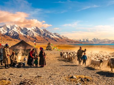
At first glance, Tso Moriri looks almost impossibly simple: blue water, a huge sky, and the pale mountains of Changthang rising around it. The more interesting story begins below the surface. The lake is not an underwater-adventure site waiting to be dived. It is a natural archive. Water chemistry, pollen, microscopic organisms, carbonate minerals and layers of sediment preserve evidence of how this corner of Ladakh has changed through thousands of years of snowmelt, evaporation, monsoon rainfall and shifts in lake level.
Tso Moriri is also a Ramsar wetland of international importance and part of a larger high-altitude ecosystem in which the shallow margins, wet meadows and surrounding steppe matter as much as the open water. Understanding the lake therefore means looking at three worlds at once: the water we see, the wetlands around it, and the long environmental record stored in the lakebed.
Tso Moriri at a glance
| Location | Changthang, eastern Ladakh, India |
|---|---|
| Elevation | About 4,500 m above sea level; published figures vary by source |
| Ramsar designation | 19 August 2002, Ramsar Site No. 1213 |
| Ramsar site area | 12,000 hectares |
| Water character | Freshwater to brackish; alkaline and strongly influenced by evaporation |
| Why scientists study it | Lake sediments record changes in hydrology, climate, vegetation and human activity |
Is Tso Moriri a freshwater lake or a saltwater lake?
The most accurate short answer is: Tso Moriri is freshwater to brackish, not a simple freshwater-or-saltwater case.
The Ramsar Information Sheet describes the lake as fresh to brackish and records a mid-summer salinity of up to about 5.85 g/L expressed as sodium chloride. It also describes a basin without a surface outflow, where strong evaporation can concentrate dissolved salts. Modern limnological research likewise characterizes Tso Moriri as an evaporative, alkaline lake whose chemistry is shaped by incoming meltwater and precipitation balanced against evaporation.
That helps explain why different travel pages sometimes label the lake differently. Calling it simply “freshwater” hides the importance of evaporation. Calling it a “salt lake” makes it sound more saline than the Ramsar description supports. The chemistry is better understood as a continuum that can vary with the lake’s water balance.

How high is Tso Moriri?
Most modern scientific papers place the lake surface at roughly 4,515–4,522 metres above sea level. The Ramsar Information Sheet lists an elevation of 4,595 metres. This is a useful reminder that apparently simple geographic numbers can differ between datasets, surveys and reference systems.
For practical purposes, the important point is not whether a source gives 4,522 m or 4,595 m. Tso Moriri lies well above 4,500 m, significantly higher than Leh, and its environment is defined by high altitude: a short growing season, cold water, strong radiation, low atmospheric pressure and a catchment in which snow and ice can have an outsized influence on hydrology.
The lakebed is the real “underwater mystery”
The strongest discoveries beneath Tso Moriri are not reports of submerged buildings or tourist diving expeditions. They are sediment cores recovered by scientific teams.
Researchers have extracted long cores from the lake floor and analysed grain size, minerals, stable isotopes, pollen, non-pollen palynomorphs and geochemistry. These layers work like a slow environmental ledger. Coarser sediment can reflect stronger transport or a nearer shoreline. Carbonate minerals can respond to changes in the balance between inflow and evaporation. Pollen carried into the lake records changes in vegetation and moisture. Microscopic remains can reveal shifts in the lake ecosystem itself.
One major reconstruction traces hydrological change in Tso Moriri back roughly 26,000 years. The record shows that the lake did not remain at a fixed size or water level. It repeatedly responded to changing temperature, meltwater supply and precipitation.
A lake that rose dramatically
A later reconstruction combining shallow- and deep-water cores with catchment geomorphology identified two particularly large rises in lake level. The first, between about 16,400 and 12,600 years ago, was estimated at roughly 65 metres and was linked mainly to stronger meltwater input. A second rise of about 47 metres between roughly 11,200 and 8,500 years ago was associated more strongly with higher precipitation.
These numbers describe changes over geological time, not modern annual fluctuations. They show why the shoreline we see today is only one stage in a much longer history.
What the sediments say about Ladakh’s climate
Tso Moriri lies near the meeting zone of two major sources of moisture: the Indian summer monsoon and mid-latitude westerly systems. Snowfall accumulated in winter, summer meltwater, monsoon rainfall and intense evaporation all influence the lake.
That position makes Tso Moriri unusually valuable for palaeoclimate research. When the balance between precipitation, meltwater and evaporation changes, the lake responds. Those responses can become preserved in minerals, grain sizes, isotopes and biological remains on the lake floor.
Research on dated cores divides the late Quaternary history of Tso Moriri into several major hydrological phases. The early Holocene included a period of high lake levels, while later millennia saw progressive lowering and the development of conditions closer to those of the modern lake. Other studies have used fossil pollen to reconstruct precipitation through approximately the last 12,000 years.
The result is more than a local history of one lake. Tso Moriri contributes to a wider scientific effort to understand how the Trans-Himalaya responds when monsoon strength, westerly precipitation and cryospheric melt change relative to one another.
Pollen, algae and microscopic life: the quieter archive
Some of the most revealing material in Tso Moriri is too small to notice from the shore. Scientists have studied fossil pollen as well as non-pollen palynomorphs, a broad group that includes remains of algae, fungi, invertebrates and other microscopic material preserved in sediments.
These remains can reveal both terrestrial and aquatic change. Pollen reflects the vegetation of the surrounding region. Limnic algae and other aquatic indicators help reconstruct the character and productivity of the lake. Fungal spores and other markers can sometimes provide clues to grazing and human presence.
One study of the Holocene record found evidence for relatively high freshwater input and low lake productivity through a long part of the early and middle Holocene. It also found that clear evidence of human influence around the lake is comparatively late in the sedimentary record. That matters because it puts a limit on romantic stories about ancient civilizations supposedly hidden beneath Tso Moriri.
Are there submerged ruins or ancient settlements under Tso Moriri?
There is no established archaeological evidence for a confirmed submerged settlement beneath Tso Moriri in the scientific literature cited here.
The lake has certainly changed size through time, and past shorelines would have occupied different positions from the modern shoreline. That makes the surrounding basin interesting for archaeological and palaeoenvironmental research. But a changing shoreline is not the same thing as proof of a drowned city, temple or village.
Likewise, the published scientific record on Tso Moriri documents sediment coring, hydrochemistry, pollen, lake-level reconstruction and wetland ecology. It does not establish a tourist scuba-diving industry or confirmed underwater archaeological discoveries in the lake.
The evidence-based story is more remarkable than the legend: metres of lake sediment preserve a record of climate and hydrological change extending far beyond written history.
How deep is Tso Moriri? Why published numbers conflict
Even the depth of Tso Moriri illustrates why primary sources matter. The 2002 Ramsar Information Sheet gives a maximum depth of about 40 metres. Yet peer-reviewed palaeolimnological research reports a deep-water sediment core recovered at a water depth of about 105 metres.
Those figures cannot both describe the same definition of maximum depth under the same survey conditions. The discrepancy may reflect older bathymetric information, different locations, changing source data or survey methodology. Until a modern authoritative bathymetric survey resolves the issue, repeating a single maximum-depth figure as unquestioned fact would be misleading.
What is certain is that the lake contains deep-water sediment sequences substantial enough to preserve a long environmental archive.
What is actually alive beneath the surface?
Tso Moriri should not be imagined as a lush underwater garden. It is a cold, high-altitude, chemically distinctive lake. Modern limnological work describes alkaline water, thermal stratification and an oxygenated bottom layer during the period studied. The lake’s biological record includes algae and other microscopic aquatic organisms, while fish surveys from Ladakh report cold-water species in streams associated with high-altitude lake systems.
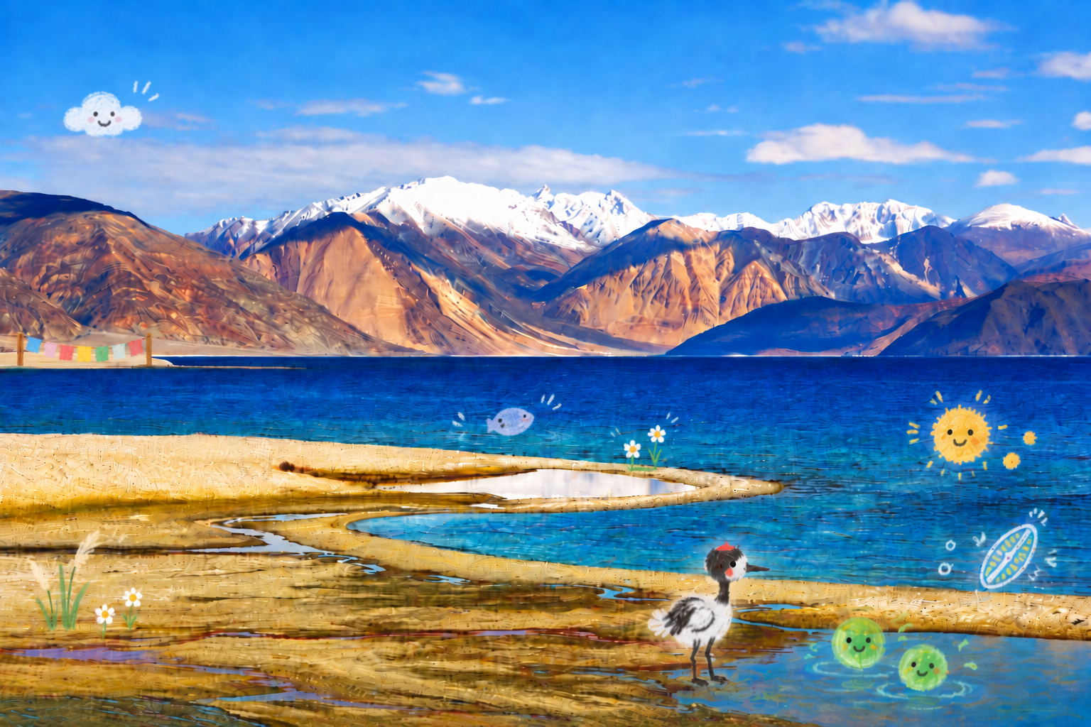
The richest visible wildlife story, however, is often at the margins rather than in deep water. Wet meadows, marshy shorelines and shallow habitats provide feeding and breeding areas for birds. The Ramsar designation highlighted the importance of the wetland for species including black-necked cranes and bar-headed geese, as well as the wider Changthang landscape for animals such as kiang and argali.
This distinction matters. Protecting Tso Moriri is not simply about protecting a blue surface. The ecological unit includes shore vegetation, shallow water, wet meadows, inflowing streams and the surrounding steppe.

Why a closed or evaporative basin changes everything
In a lake with little or no effective surface outflow, water leaves mainly through evaporation. Dissolved minerals do not evaporate with it. Over time, the balance of incoming freshwater and evaporative loss can therefore change salinity and influence which minerals precipitate within the lake.
Modern sediment research at Tso Moriri has identified authigenic aragonite, a carbonate mineral formed within the lake system. Researchers use changes in carbonate mineralogy and isotopic composition as proxies for the relationship between inflow and evaporation.
This is one reason the lakebed is so scientifically valuable: chemistry turns water balance into a physical record that can remain in sediment long after the weather event itself has vanished.
Was Ladakh once under water?
Yes in a deep geological sense, but not because Tso Moriri is a remnant of an ocean.
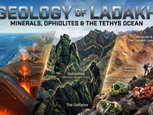
Parts of the rocks exposed across Ladakh preserve the history of the ancient Tethys Ocean and the collision of the Indian and Eurasian plates. That story belongs to a vastly older geological timescale. Tso Moriri, by contrast, is a high-altitude lake basin whose late Quaternary sediments record tens of thousands of years rather than the tens of millions of years involved in the disappearance of the Tethys.
The two stories meet in the same landscape, but they should not be confused. Marine rocks in Ladakh tell the story of plate tectonics. Tso Moriri sediments tell the much younger story of glaciers, precipitation, evaporation, vegetation and human presence.
The wetland around the lake matters as much as the lake itself
Tso Moriri became a Ramsar Site in 2002. The designated area covers about 12,000 hectares and includes wet meadows and mineral-rich wetlands around the shores, not only the open lake.
The Ramsar documentation also records the cultural importance of the wetland to local Buddhist communities and the relationship between the lake, Korzok and the pastoral landscape of Changthang. That human geography is important. Tso Moriri is not an isolated piece of “wilderness” without people; it exists within a lived pastoral and religious landscape.
For visitors, the most responsible way to experience the lake is therefore simple: treat the shoreline as habitat, not as an empty backdrop. Avoid driving onto wet ground, disturbing nesting areas or approaching wildlife closely. The apparent barrenness of Changthang can make fragile places look tougher than they are.

What Tso Moriri can tell us about the future
A sediment core is a record of the past, but its value is partly forward-looking. Tso Moriri shows how strongly a high-altitude lake can respond when the balance among snowmelt, precipitation and evaporation shifts.
That does not mean every ancient lake-level change has a direct modern equivalent. The forcing mechanisms, rates and boundary conditions differ. It does mean that the lake has a long history of sensitivity to hydrological change. Continued monitoring of water chemistry, lake level, inflows, wetland vegetation and wildlife can therefore provide useful evidence of how the Changthang environment is responding to contemporary climate pressures.
Frequently asked questions
Is Tso Moriri freshwater or saltwater?
It is best described as freshwater to brackish. Ramsar documentation records variable salinity, while limnological studies describe an alkaline, evaporative lake system. It is not accurately summarized as simply freshwater or simply saltwater.
What is the altitude of Tso Moriri?
Published figures vary. Many scientific studies use about 4,515–4,522 m above sea level, while the Ramsar Information Sheet lists 4,595 m. In practical terms, the lake sits above 4,500 m.
How deep is Tso Moriri?
Published figures conflict. The 2002 Ramsar sheet gives about 40 m as maximum depth, while peer-reviewed research reports a sediment core recovered at roughly 105 m water depth. A modern authoritative bathymetric survey is needed before treating one number as definitive.
Can tourists scuba dive in Tso Moriri?
Tso Moriri should not be presented as a regular tourist scuba-diving destination. The scientific literature cited here concerns research coring and limnology, not recreational dive tourism. The lake is also a protected high-altitude wetland with a fragile shoreline ecosystem.
Are there ancient ruins under Tso Moriri?
No confirmed submerged settlement or archaeological structure beneath the lake is established by the scientific sources cited here. Research has documented major prehistoric changes in lake level, but changing shorelines are not evidence of a drowned city.
Why do scientists drill into the lakebed?
Sediment accumulates layer by layer and preserves minerals, pollen, microscopic organisms and geochemical signals. By dating and analysing those layers, researchers can reconstruct earlier lake levels, moisture conditions and ecosystem changes.
Was Ladakh once under the sea?
Parts of Ladakh’s rocks record the much older Tethys Ocean, but Tso Moriri itself is not a remnant of that ocean. The lake’s sediment archive belongs to a far younger stage of Ladakh’s geological and climatic history.

 Shakesphere